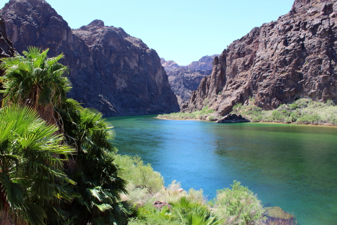
La Grande Isle (Grand Island) was named by French fur traders in the late 1700s and became a well-known landmark on the Platt River as people migrated westward. At that time, there was more water in the Platt River and the island was 40 miles long and two miles wide in places. The small channel that formed the island has since dried up in most places and there is now only limited water in the Platte River.
In 1847, Brigham Young passed through what is now Grand Island while traveling along the north side of the Platte River as he led members of the Church of Jesus Christ of Latter Day Saints (Mormons) on their way to Utah. Over the next two decades thousands of Mormon pioneers passed through the area on their way to Utah from Winter Quarters located on the west bank of the Missouri River near Omaha, Nebraska. There were many hardships and deaths along the trail and the area through Nebraska became known as the "Mormon Trail of Tears." Hundreds of adults and children were buried along the trail, mostly in unmarked graves
The first permanent settlers arrived in the area on July 5, 1857, and laid out a community on La Grande Isle. However, the island location was not feasible for trade with other settlers moving westward, so the townsite was moved inland to a site laid out by the Union Pacific Railroad. Grand Island's population grew quickly because this was the last place where travelers could obtain supplies before they crossed the plains. By 1870, 1,057 people lived in Grand Island. The population is now over 50,000.
The original settlers were German immigrants that came to the area to establish farms. Then, in 1862, Henry Koenig and Fred Wiebe established an O.K. Store to sell supplies to local settlers and travelers passing on the Mormon Trail.
During the Indian uprising of 1864, the store was fortified with a sod stockade that sheltered 68 men and 100 women. The store was renamed "Fort O.K." Additional people were sheltered about two miles away at "Fort Independence," which was constructed by William Stolley. Neither fort was ever attacked by Indians.
Following GPS directions to the O.K. Store location listed on Nebraska's historic marker web site, I found that the site is now the South Entrance to Eihuen Arena. A historic marker on the west side of the building describes the O.K. Store and states that this was also the location of the first Grand Island post office.

I had not planned to visit Nebraska in 2022; but life does not always go as planned. After some last-minute changes to my schedule, I ended up creating a history tour for myself that started and ended at the Central Nebraska Regional Airport (CNRA) just outside of Grand Island. Like many other airports in central United States, the large facility was built by the Federal Government during WW II. Over 3,500 airmen trained here in B-17 and B-29 bomber aircraft. After the war, the airport was turned over to Hall County for a regional airport.
A historic marker stated that on February 25, 1944, a B-17 aircraft crashed just north of the airport shortly after takeoff, killing all nine airmen aboard. The marker went on to state that while training in the United States for assignments overseas, over 15,000 Army Air Force airmen died in 6,350 aircraft crashes. I was surprised that so many airmen were killed in aircraft crashes while still in the United States.


Located a short distance from the airport is the Hall County Poor Farm Cemetery. In the late 1800s paupers could live and work on the Poor Farm in exchange for food, shelter, clothing, and medical care. No records were kept about the number of people that died at the Poor Farm; but it is estimated that there are 10-20 people buried here, mostly in unmarked graves.

When the Union Pacific Railroad reached Grand Island in the 1860s, they donated some of their land holdings to the City for constriction of a public building. In 1873 a small courthouse was constructed for $16,500, but it soon became too small as the population expanded. So, in 1904, a new courthouse was built at a cost of $131,793. The new building is still in use today.


The original courthouse site is now Pioneer City Park, which contains a collection of different Lincoln Highway markers. US Highway-30 now follows the Lincoln Highway alignment in many places.


As the United States became more diverse and the population grew, it was realized that a better road system was needed to transport people and goods across the country. In 1912 Indiana entrepreneur Carl G. Fisher started the Lincoln Highway project to build a paved, toll-free, transcontinental highway from Times Square in New York City to Lincoln Park in San Francisco. When completed, the 3,389 mile highway went through 13 states. Although the road alignment changed several times, a substantial part of the original alignment was expanded and paved over to form Highway US-30 and many of the original 3,000 Lincoln Highway marker posts with direction arrows can still be found along the route. I followed US-30 for about half of this trip.
The only portion of the Lincoln Highway that still exists in its original condition is located in Grand Island. This section of the highway was built in 1915. When the highway was realigned in 1931, the City preserved several hundred feet of the original highway in the condition that it was in at that time. Vehicles are not allowed on the original highway, so I walked to the entire length, reading the Burma Shave signs along the way. There were also different Burma Shave signs along the highway when I walked in the other direction. (Anyone over 60-years of age will remember the Burma Shave signs.)


BONUS PICTURE